|
|
|
|
Some Smiths |
|
|
|
Seawall and False Creek Cycling LoopVancouver, BCGeneral Directions
We try to park on Stanley Park Drive (as we did for this track), as near as possible to the Second Beach swimming pool. There is pay parking meter near there and you can leave your car for the day for $11. The GPS coordinates for where we park are:
The Trip
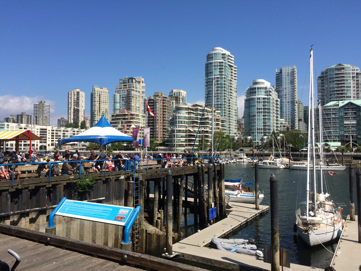
This path will eventually bring you back to the path where you joined it near your car. Continue to the same fork in the trail at the children's playground but this time, turn right to join the bike path going South. Follow it along English Bay and around False Creek, passing the geodesic dome at the end and Olympic Village on the South side. When you reach Granville Island, take one of the entrances to explore the island on its city streets. We stop for lunch here at one of the many restaurants. Sandbar is the one we visited when I recorded this route. It is adjacent to the Market and there is a free safe bike storage facility there where you can leave your bike while you explore the Market and have lunch.
ConditionsAlmost the whole route is on paved multi-use bike paths - walkers, roller bladers, and cyclists. But for most of the route, walkers have their own pathway and there don't seem to be a large number of roller bladers (at least on weekdays). Some of the trail on the South side of False Creek is a bit like cobble stones, but the whole route is fine for road bikes with narrow tires.
The best time to do this trip is on a bright, sunny, warm day. The views are spectacular and constantly changing. Unfortunately, those are also the days when a gazillion people come out to enjoy the beach and other waterfront activities. In other words, there's a lot of traffic, so speed is neither possible nor advisable. Just relax and enjoy the views.
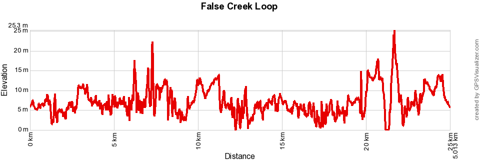
MapThe map below is a Google "My Maps" embedded document and you can double click on it and expand it to see it better on either your computer or smart phone. If you'd like to download the actual GPS data to use instead, click on this link: False Creek Loop Please ignore the label "False Creek Loop" on the Seawall section, I needed a short name for the whole trip. Elevation ProfileThe profile looks quite violent but note that its range is only sea level to 25 meters.
|
|
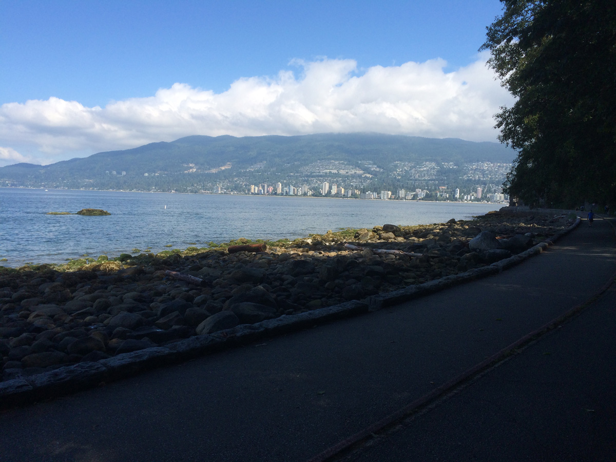 If you are driving from Horseshoe Bay, turn right into Stanley Park at the first
opportunity after you cross the Lion's Gate Bridge and follow the one way road through the Park down to the
flats to find a parking space. There is pay parking everywhere, but you'd like to be lower
down, somewhere near the bike path. If you're coming from the city, you need to navigate to the
intersection of Stanley Park Drive and North Lagoon Drive.
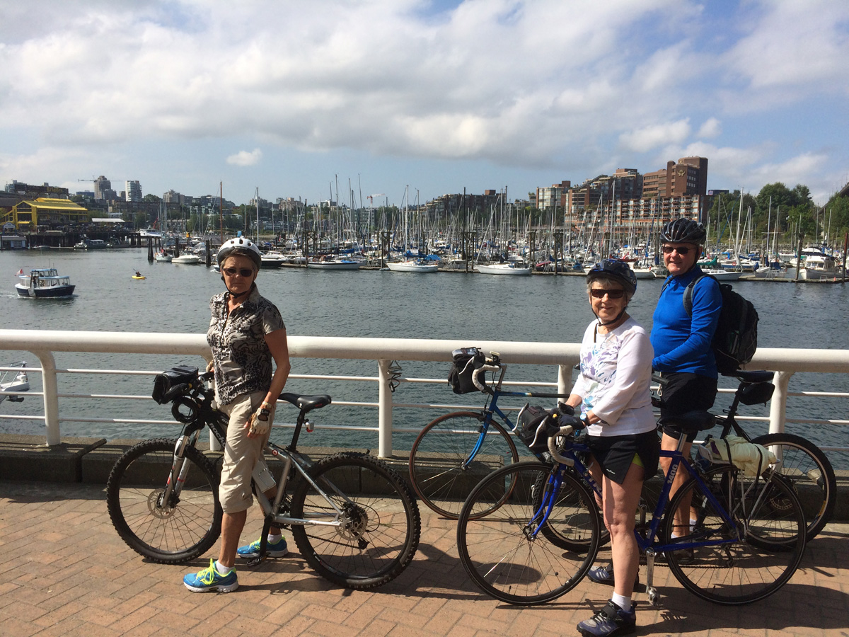 Join the bike trail, which is two way at that point and cycle South towards the children's
playground, where you turn left at the fork in the trail. From there, you follow the track until you
pass under W Georgia Street and, near the Rowing and Yacht Clubs, join the Seawall trail around
Stanley Park. At this point, the path is one way counter-clockwise around Stanley Park.
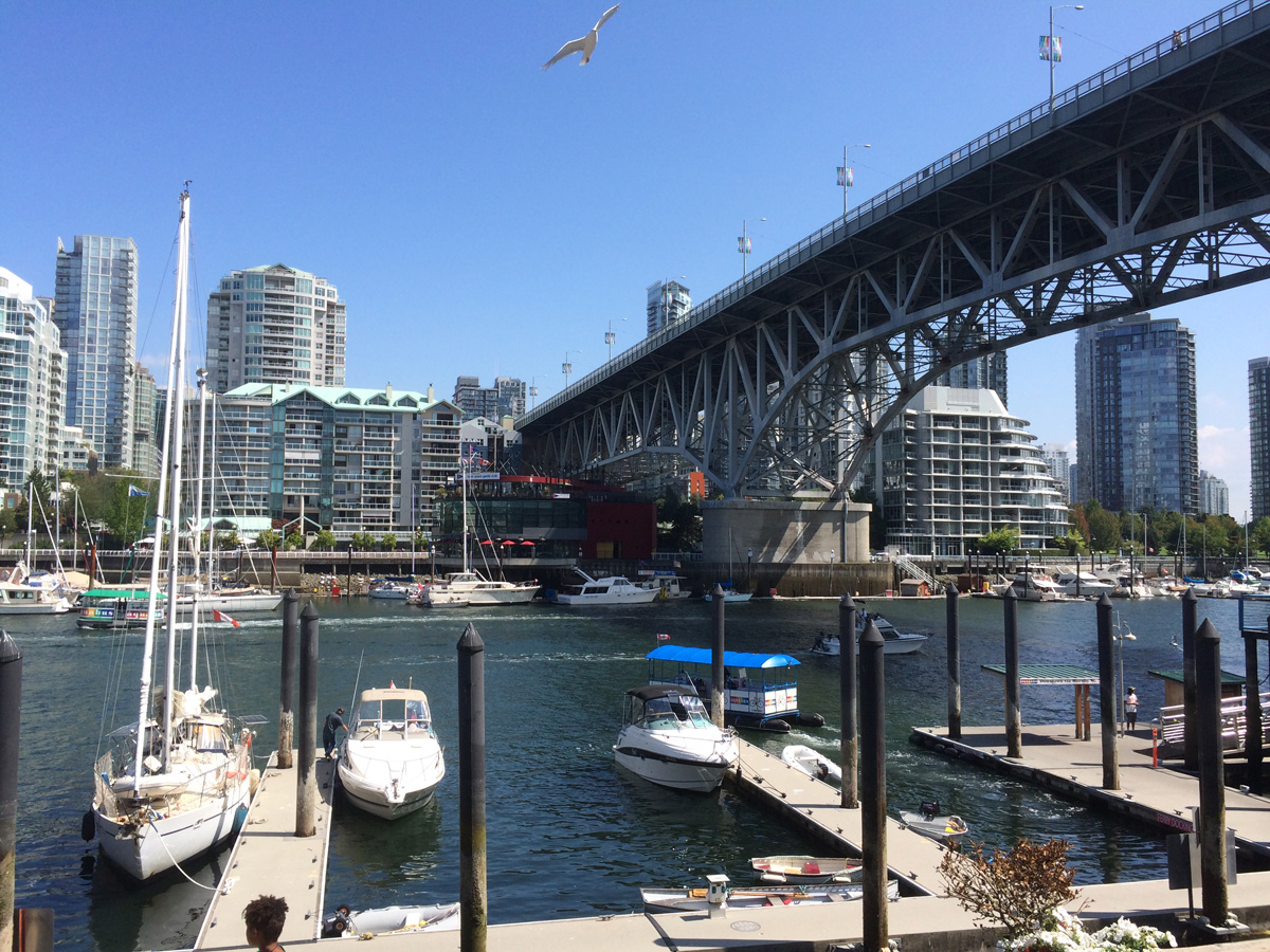 When you are leaving, ride along the street under the Granville Street bridge and turn
right on to the bike path. Follow the track (and signs) to turn left off the path to get up to the
entrance to the Burrard Bridge. Bicycles can only use the South side of the bridge, so join it
there. At the end of the bridge, turn right and take the first right to go down the hill to find the
bike path going North. It's the same path you came on earlier, so follow it to return to your
car.
 There seemed no point in providing an elevation profile, as the route
is almost flat except for the climb over the Burrard bridge.